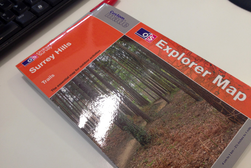
Custom maps from Ordnance Survey
I’ve been riding around the Surrey Hills for years now. But as I’m a bit of a boring person creature of habit I tend to ride a similar loop. I rarely break out of this except when riding with others who are guiding. When you only have one ride every two weeks you don’t want to get lost and not enjoy it. Whilst I know my favourite trails very well and how to link them up I don’t actually know where I am. That sounds ridiculous but I really don’t. All I know is the trail and the series of links to get back to the van / tea shop.
The one person who drags me out of my usual route is Matt. Mainly due to him being so, so bored of riding my favourite trails I’d imagine. With this in mind I went to look at getting a map of the area and starting to properly map out and record some of the trails. I was thinking I could GPS a few then compare them on the map and know where I was, or had been. I also wanted to then use the map to be a little more adventurous and explore, but with the comfort of knowing which main road we were crossing etc.
So i found the maps we needed at 1:25,000 scale. Unfortunately the area I wanted was split over two landrangers, numbers 146 and 147 I think. So I had a quick look at the Ordnance Survey site which isn’t crap anymore. It turns out you can make your own custom maps there. So I centred the map, added my own image to the cover as well as a title. I got it in the post today. Somehow I’m completely amazed that this is possible. Completely custom on demand printing. Looking forward to riding more trails and pencilling in some new ones.
